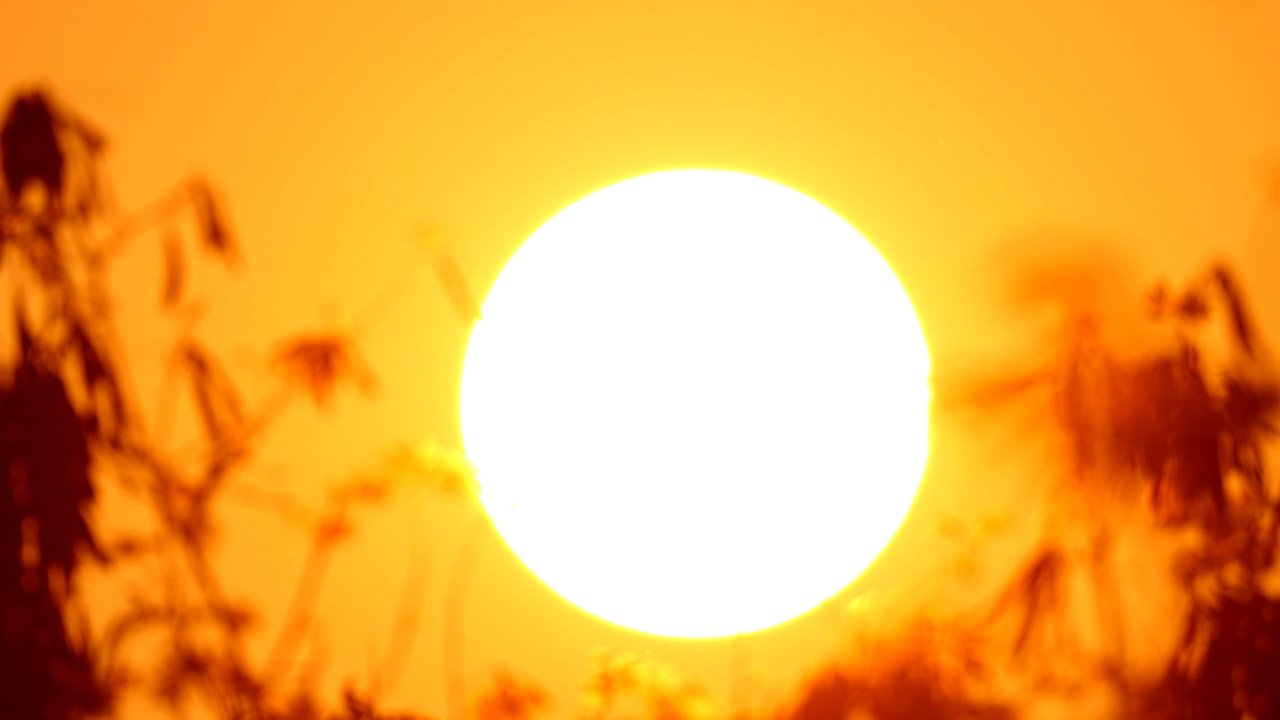
Our planet will perhaps set a new annual temperature record in 2027 due to the natural climate phenomenon El Niño, which current forecasts indicate could become very strong late in the year. El Niño phases influence weather extremes around the world – and tend to be accompanied by higher temperatures.
Depending on the strength of an El Niño cycle, temperatures can rise even further in addition to the warming already caused by climate change, particularly in the year following the onset of an El Niño.
The hottest year in terms of global mean temperature so far was 2024, at around 1.5°C above the average for the pre-industrial period (1850–1900). In fact, 2024 was affected by an El Niño phase that had begun in 2023, mirroring the current situation. Forecasts currently indicate a very strong El Niño that may even exceed the strongest El Niño phases to date, which occurred in 2016 and in 1997/98. All in all, it now appears very likely that the global annual temperature record will be broken in 2027.
El Niño is a naturally occurring event associated with the El Niño-Southern Oscillation (ENSO), a periodic fluctuation in Pacific Ocean surface temperatures. In its neutral state, surface water in the western Pacific is much warmer than in the eastern Pacific off the coast of South America. During La Niña phases, the difference in temperature is even greater. In contrast, during El Niño phases, weakened trade winds transport lower quantities of warm surface water westward. As a result, the waters off the coast of South America warm up, while the western Pacific cools. The term “Super El Niño” is used when the surface water in a specific region of the Pacific (Niño 3.4 anomaly) is more than 2°C warmer than the long-term average.
El Niño phases usually last between six and twelve months, peaking around the end of the calendar year. La Niña events are typically of longer duration.
The main impacts of El Niño include:
- As El Niño events are now occurring in a significantly warmer world due to climate change, the resulting weather impacts are also reaching new levels.
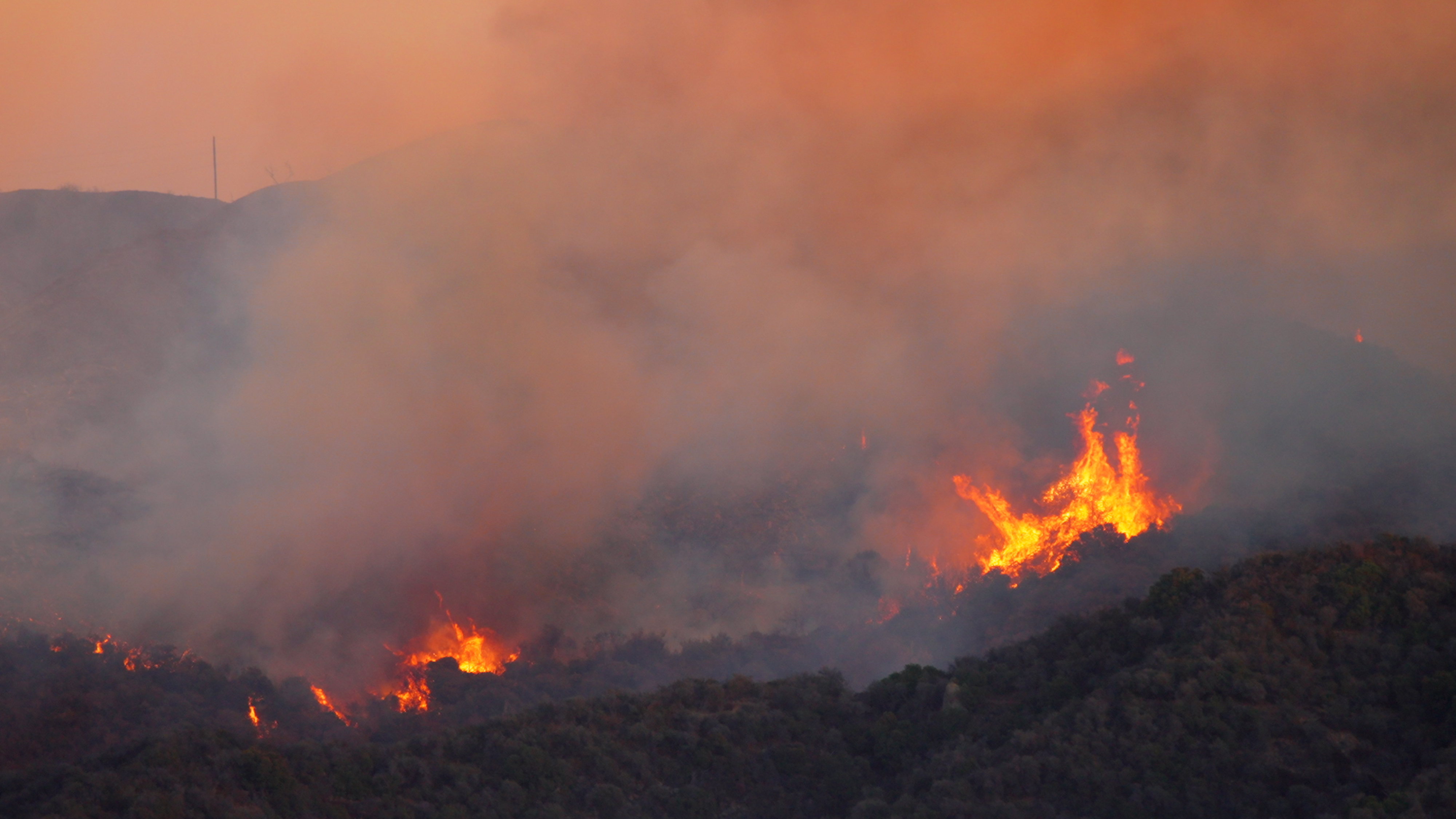
- In Australia, southwestern Africa, Central America, and northwestern South America, El Niño tends to cause drought and wildfires. In western South America and parts of Brazil, on the other hand, there is more flooding and flash flooding, which can extend as far north as the southwestern US.
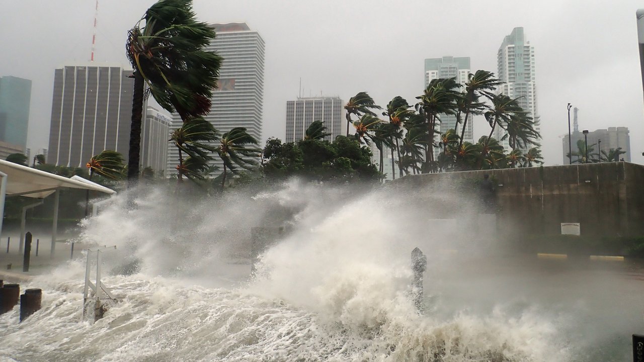
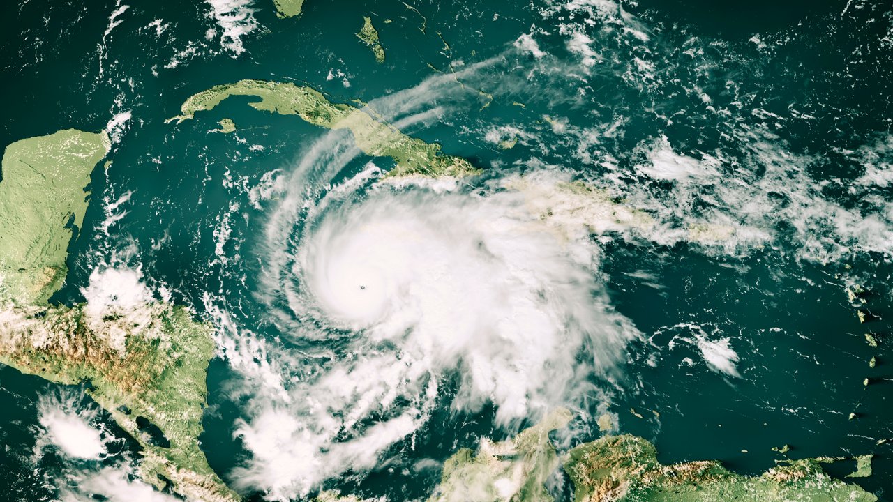
- In the hurricane season in the North Atlantic, storm activity tends to be subdued, as stronger wind shear and a drier, more stable atmosphere counteract the formation of tropical cyclones. However, other factors also influence hurricane activity. For example, high water temperatures during peak hurricane season could be conducive to storm development – making forecasts tricky. What’s more, hurricanes can cause extreme damage despite an El Niño. Hurricane Andrew in 1992 is a prime example: it unleashed catastrophic damage in southern Florida during an El Niño cycle. Andrew remains one of the ten costliest tropical cyclones worldwide per inflation-adjusted losses.
- In the northeastern Pacific, off the west coast of the US and Mexico, the hurricane risk is significantly elevated during an El Niño phase. In 2015 for example, Hurricane Patricia made landfall in Mexico with wind speeds of up to 340 km/h – making it one of the most powerful hurricanes on record. Though extensive, losses remained manageable because the region was so sparsely populated. In October 2023 – and during another El Niño phase – Hurricane Otis devastated the tourist centre of Acapulco on the west coast of Mexico. Overall losses came to nearly US$ 15bn, of which one-third were insured.
- In the Northwest Pacific, El Niño phases favour the development of typhoons. Moreover, El Niño tends to shift eastward the areas of the Northwest Pacific where typhoons form. There are consequently more long-lasting and intense typhoons, whose tracks more frequently lead northwards towards Japan, Korea and China.
Two of the costliest typhoons on record were Jebi in 2018 and Hagibis in 2019 (both in Japan), with losses running into tens of billions of dollars. Both were influenced by a special variant of El Niño. One of the most destructive cyclones influenced by El Niño was Typhoon Doksuri, which hit China, Taiwan, Vietnam and the Philippines in July 2023 and caused around US$ 25bn in losses. Only US$ 2bn was insured.
Generally speaking, the effects are reversed in La Niña years. In other words, they result in more tropical cyclones in the North Atlantic and more frequent floods in eastern Australia. Exact predictions are always difficult in such circumstances, because other cyclical oscillations also play a role.
El Niño influences weather extremes around the world: the most important effects
Is climate change intensifying El Niño and La Niña?
ENSO fluctuations affect not just local weather phenomena, but also global mean temperatures. El Niño increases them, while La Niña reduces them slightly. It is worth noting that the last 12 years have been the warmest since meteorological record-keeping began. Influenced by an El Niño phase that had started in 2023, the hottest year on record is 2024, when the mean temperature was almost 1.5°C above the pre-industrial average. But recent hot years have also been interspersed with several neutral and La Niña years, e.g. in 2020–2022 and 2025. In short, the effects of natural climate cycles are overlapping with those of climate change, producing a trend toward higher temperatures.
However, there is no scientific consensus yet as to whether climate change is having a direct impact on ENSO fluctuations. Some studies indicate that climate change is also intensifying the ENSO phases themselves – in the same way that it is worsening the extremes of many natural hazards.
The pronounced effects of cyclical climate fluctuations, in combination with the effects of climate change itself, illustrate how important research in this area and the insights gained from it are – not least for insurers. Using historical statistics alone for risk management is not enough. Instead, fluctuations from natural climate cycles need to be considered, and the long-term effects of climate change precisely mapped in the risk strategy.
There are dozens of scientists at Munich Re – from meteorologists and hydrologists to climate scientists – all working on risk models and risk assessments that make it possible for us to cover disaster risks on a large scale. Doing so is of fundamental importance. After all, insurers assume a portion of the financial losses incurred by disaster victims – enabling them to return to their normal lives as quickly as possible.
Munich Re experts