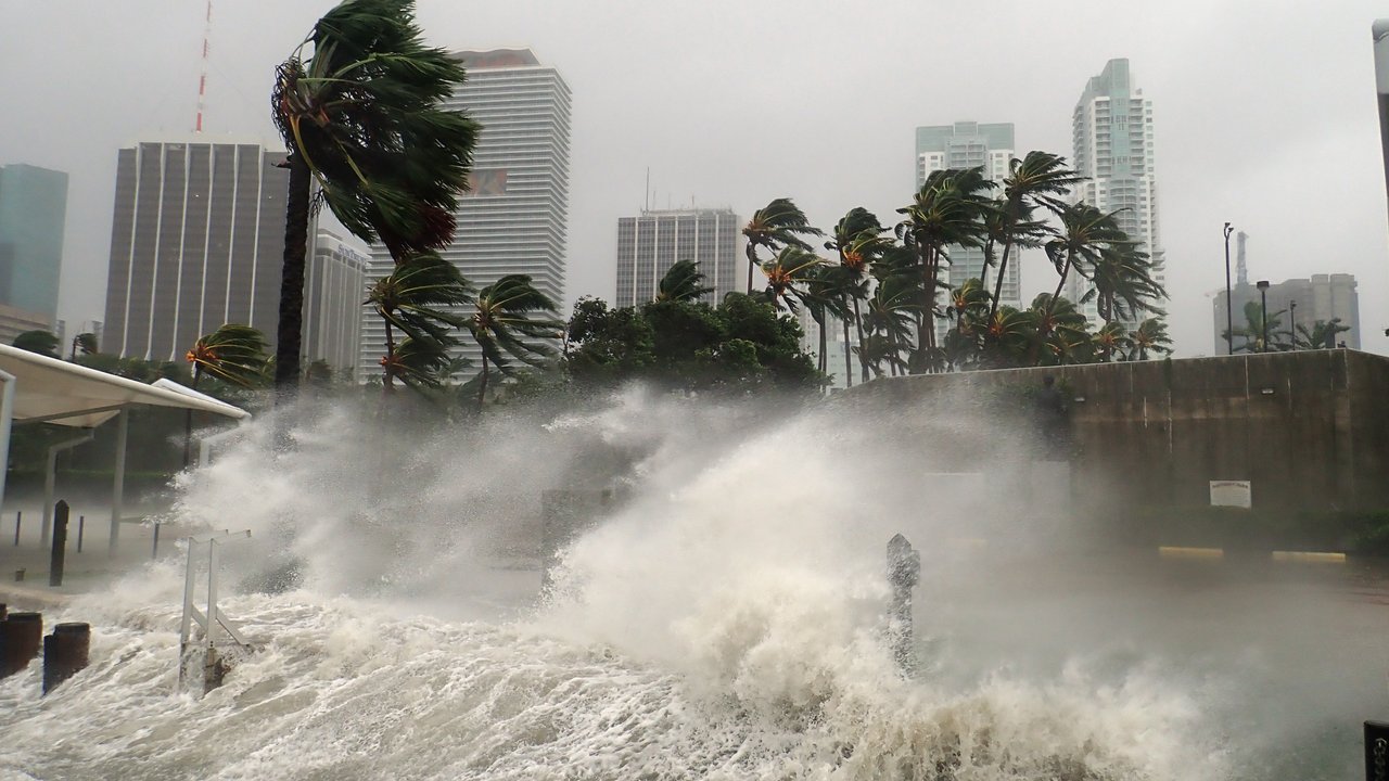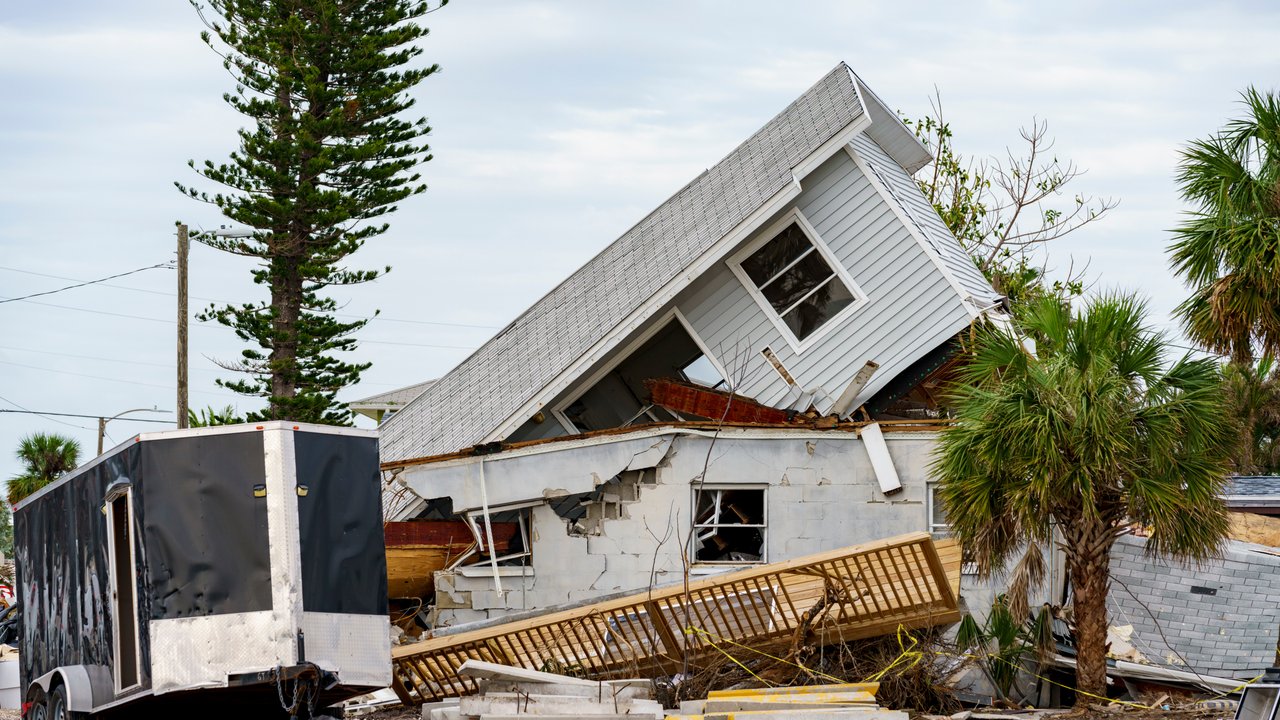
Current climatic conditions may produce a slightly above-average number of storms in the North Atlantic during the 2025 hurricane season. However, this year’s outlook is subject to more uncertainty than last year’s, as key climatological framework conditions remain unclear.
In figures:
Based upon its latest analysis of climatological conditions, Munich Re expects slightly more storms than usual for the 2025 Atlantic hurricane season. As an approximate mean figure, leading research institutes1 predict 14–19 named storms in the tropical North Atlantic this year. Seven to nine of these could develop into hurricanes, of which three or four might become major hurricanes with wind speeds of over 110 mph (177 km/h).
These numbers are slightly above the long-term average for 1950 to 2024 (12.5 named storms, 6.5 hurricanes and 2.6 severe hurricanes) and are in line with expectations for the cyclical warm phase in the North Atlantic since the mid-1990s (15.8 tropical storms, 7.8 hurricanes and 3.5 major hurricanes). The differences between predictions among researchers for 2025 are considerable and greater than usual.
The two essential factors influencing hurricane activity are water temperatures in the tropical North Atlantic and the current status of the natural climate pattern known as ENSO (El Niño/Southern Oscillation) in the equatorial Pacific.
“It’s harder to make predictions for the hurricane season this year compared to last year, as the ENSO phases and development of water temperatures are still very unclear. In any case, diligence is called for, since the latest observations hardly indicate a quiet storm season. According to a study conducted at Colorado State University, under similar conditions the US was hit by three devastating hurricanes in 2017 – Harvey, Irma and Maria. It was the second-costliest hurricane season in history. Yet in 2006, a year that began with similar conditions, there were far fewer storms, and losses were under the US$ 1bn mark.”
The background:
Sea surface temperatures
ENSO (El Niño/Southern Oscillation)
In 2024, Hurricanes Helene and
Milton produced the highest losses
In 2024, 18 tropical cyclones were recorded in the North Atlantic, including 11 hurricanes, five of which developed into major hurricanes (Categories 3-5 on the Saffir-Simpson Wind Intensity Scale). Losses especially from Hurricanes Milton and Helene in Florida made 2024 the year with the second-highest overall global losses from tropical cyclones in the last 10 years.
The hurricane season officially begins on 1 June and continues until the end of November. Cyclones can also develop shortly before or after this period, but it’s far less likely.
When major hurricanes make landfall on the US coast, they frequently leave behind several billions of dollars in losses. How many actually make landfall – and where – is virtually impossible to predict. But even one “direct hit” from an intense hurricane on a densely populated area is enough to produce catastrophic losses. Accordingly, measures to prevent losses are of critical importance.
Typhoons:
Tropical cyclones in the Northwest Pacific
In the western part of the North Pacific, ENSO conditions also influence the typhoon season in the region, but with roughly the opposite effect to that on cyclones in the North Atlantic: As a rule, La Niña conditions favour typhoon activity that is below the long-term average. An initial study (TSR) currently predicts a level of activity that roughly matches the 30-year average (1991–2020) of 25 named cyclones, 16 typhoons and nine severe typhoons in the highest 3–5 category in 2025.
1 Colorado State University, Tropical Storm Risk, University of Arizona, NOAAContact our experts


Related Topics
Related Articles
Newsletter
properties.trackTitle
properties.trackSubtitle


