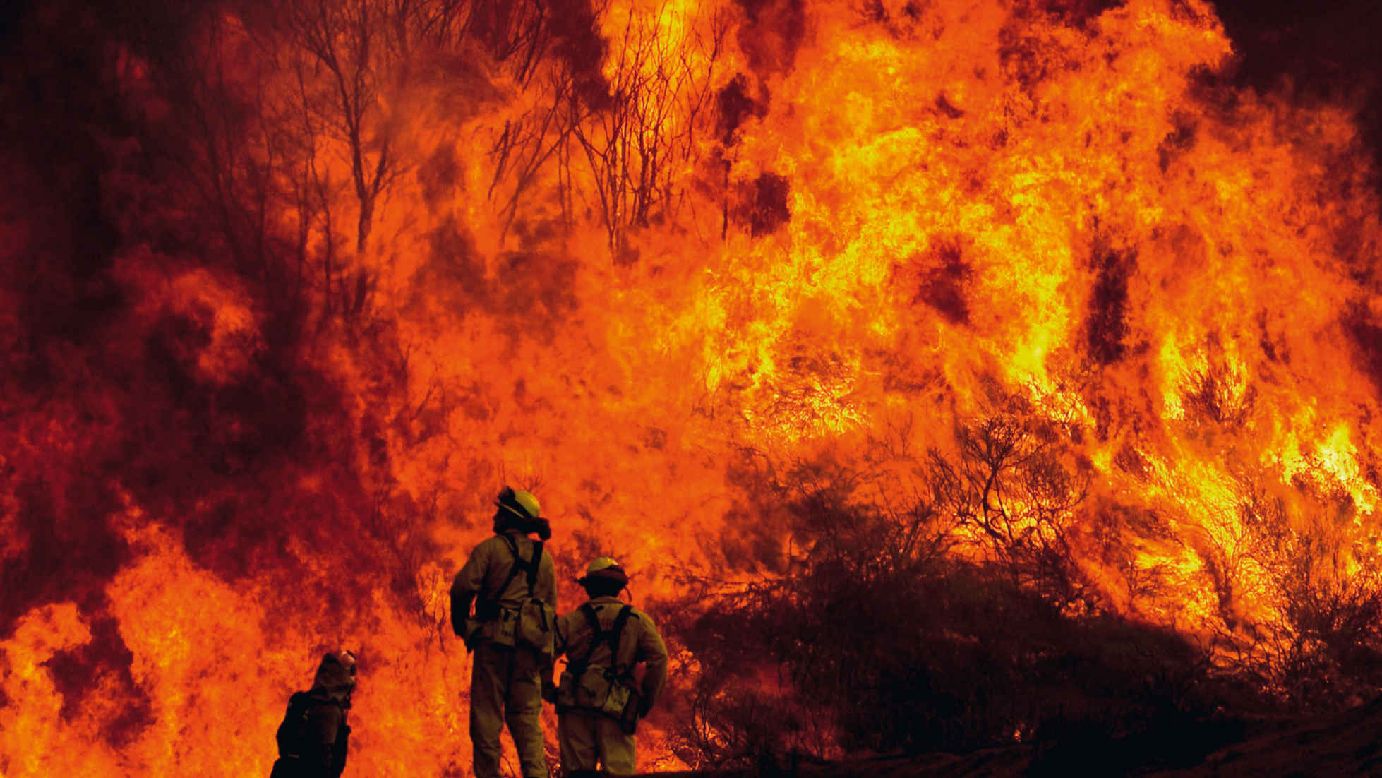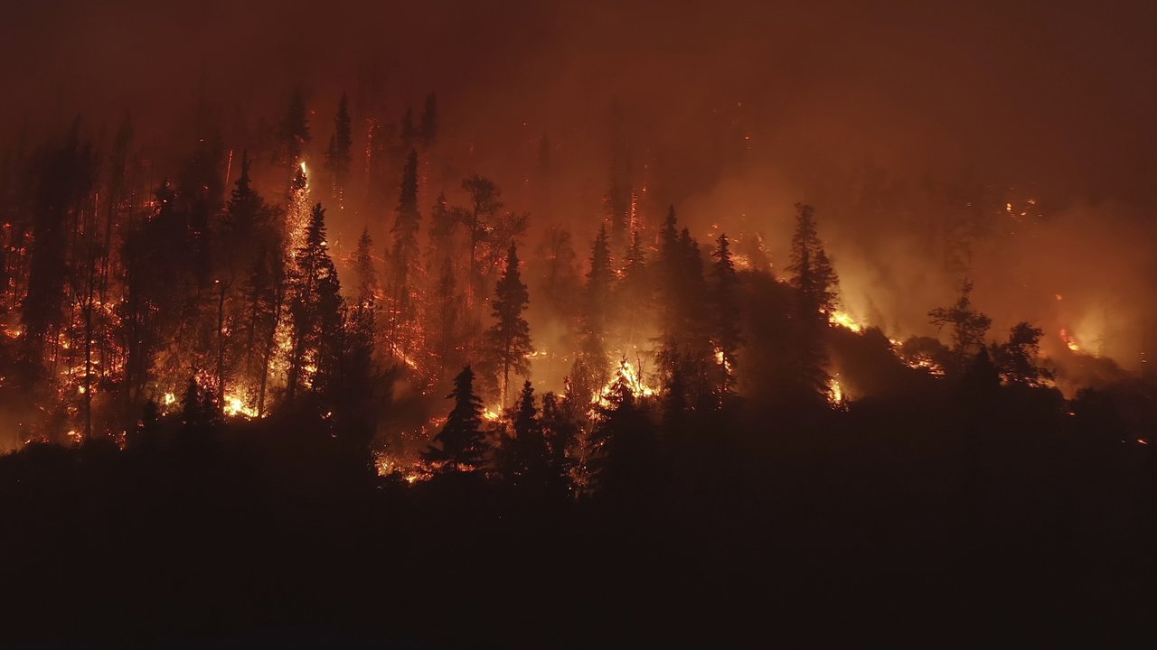
The term wildfire refers to any conflagration that starts in a rural, sparsely populated or largely undeveloped area. In many parts of the world, wildfires form part of the ecosystem and often burn at a safe distance from areas of human settlement. Under dry conditions and when fanned by strong winds, however, fires can spread into heavily populated districts, causing major damage to property. Buildings may be set alight by radiant heat, contact with the flames, or flying embers. The flames themselves are not the only thing that leads to a loss. Smoke can also cause property damage, and indirect losses can result from business interruption.
The wildfire hazard is the result of a complex interaction of highly disparate factors. Wildfire is the only natural hazard that is directly influenced by human behaviour. This is because the majority of fires close to populated areas are the direct or indirect result of human activity, including carelessness and arson. Efforts are made to prevent major fires through rapid fire suppression and the adoption of preventive measures. In sparsely populated regions, most fires are the result of lightning strikes.
The hazard is especially high in climate zones with enough rainfall to allow vegetation to flourish, but where there are also long periods of warm weather with little precipitation. Under such conditions plants gradually dry out, becoming highly flammable. This type of climate prevails in California, south-eastern Australia and the Mediterranean region, all three of which are well known for their high wildfire hazard. Nonetheless, large losses can also occur in other regions, especially during heatwaves and when winds are strong.
Risk models
For the risk hotspots California and Australia, models can be used to estimate potential insured losses from wildfires. Modelling this natural hazard is not easy, however, due to the large number of influencing factors, both anthropogenic and natural. “Event sets” consisting of a variety of simulated wildfires are required for risk models. Data from past events is used for this. The observed frequency of wildfires can be used as a basis to simulate the occurrence of future fires, for example. The spread of the fires can be calculated according to land use and weather conditions. Information on vegetation cover and meteorological data such as wind speed and direction are therefore also used.
Simulating the intensity of the fires is especially challenging because the flammability of the vegetation – which is influenced by meteorological conditions before the fire starts – needs to be factored in. Intensity is also determined by the amount of vegetation and dead plant material available to fuel the fire. The quantity of combustible material can be the deciding factor as to whether a surface fire is able to spread to the treetops. Since this variable can change as a result of natural processes and anthropogenic influences, it is difficult to take into account once the model has been created. Insured losses are calculated with the help of a vulnerability curve and information on the contract terms. A particular challenge here is that frequently very little loss data is available to calculate the vulnerability curve used in the model and, when calculating the loss, allowance needs to be made for different contract clauses.
Insured losses in high-risk regions
Californian wildfires are responsible for greater losses than the wildfires of any other region in the world. Large swathes of what is known as the wildland-urban interface (WUI) – areas in which buildings have been erected alongside or in the middle of natural vegetation – are found in high-hazard regions. As most buildings in such areas are residential, the lion’s share of insured property losses generally stems from personal lines insurance. Major disasters, such as those in 1991, 2003 and 2007, often occur in the autumn – at the end of the wildfire season. These fires quickly developed into uncontrollable infernos, with winds fanning the flames and helping to spread the fires further and faster.
The state of Victoria accounts for a large proportion of insured losses in Australia. In the last major event, the Black Saturday bushfires of 2009, residential buildings and contents insurance accounted for around three quarters of the insured property loss, with commercial, industrial and agricultural policies responsible for the remaining quarter.
The Black Saturday fires highlighted the problem of underinsurance: an estimated 80% of insured households affected were not adequately covered. If the sum insured for a destroyed house is less than the cost of reconstruction, the loss is not fully covered and the owners have to make up the difference themselves. Approximately 13% of the homes destroyed in the Black Saturday fires were not insured at all.

Winds fanned the flames
Besides the dry weather conditions, strong winds that changed direction were the main reason why the 1983 and 2009 fires were so destructive. Fires spread by a strong, steady wind are generally long and narrow. If the wind direction changes, however, the long side of the fire can suddenly become the new fire front.
The probability of power lines igniting a fire increases with higher wind speeds because trees can come into contact with the lines, for example. The 2007 Southern California wildfires and the Black Saturday bushfires in Victoria in 2009 illustrate the high loss potential of such events for liability insurers. Class actions were filed against utilities and other parties. It was thought that some of the fires were caused by deficiencies in the distribution network. In the USA and Australia, the parties involved agreed on settlements that did not include any admission of liability on the part of the defendants. In total, the compensation payments amounted to almost US$ 3bn. Since the utility companies concerned in both countries had liability insurance that specifically included liability for wildfires, the insurance industry bore a significant share of the costs.
Catastrophes in unexpected locations
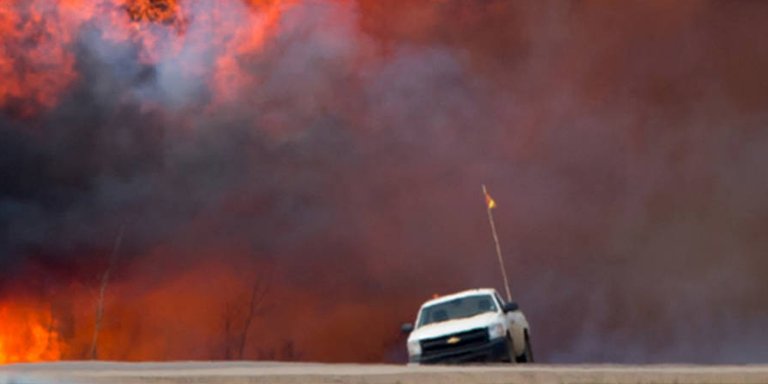
In 2016, a wildfire affecting the remote Canadian town of Fort McMurray caused the Canadian market’s costliest insured wildfire loss ever. Until then, losses of this magnitude had only ever happened in California, where the hazard is much greater. The fire, dubbed “the Beast” by locals, proved so destructive because it experienced the perfect 30-30-30 conditions: temperatures above 30°C, relative humidity under 30%, and wind speeds of over 30 km/h.
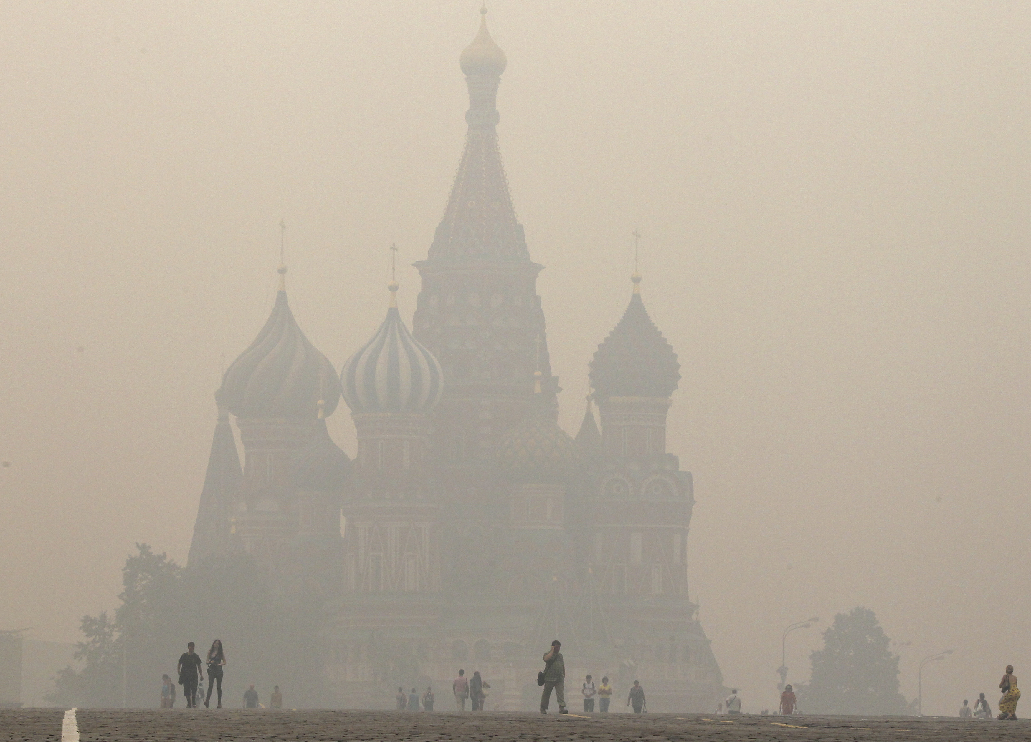
An exceptional heatwave also favoured severe fires around Moscow in 2010, as a direct result of which 130 people lost their lives. High temperatures over a long period, extreme dryness and smog caused health problems for many. As a result, the number of deaths in July and August 2010 was 56,000 up on the same period the previous year.

Recurring events
Successful prevention
Conclusion
Munich Re Experts

Related Topics
Newsletter
properties.trackTitle
properties.trackSubtitle
