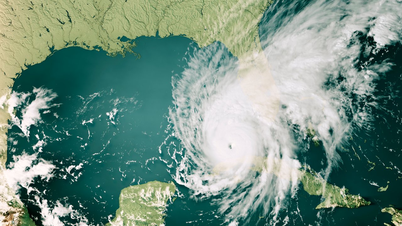
Following a series of years with prevailing conditions that promote the development of tropical storms, initial forecasts for the 2023 hurricane season expect this year’s number to correspond roughly to the long-term average.
However, it is not yet clear which of two contrasting climate effects will gain the upper hand: the El Niño phenomenon, which tends to inhibit the formation of hurricanes, is expected to develop by late summer. At the same time, water temperatures in the tropical North Atlantic are unusually high, a factor that could fuel tropical cyclones.
In terms of figures: based on an analysis of the climatic conditions and on forecasts from leading research institutes, Munich Re expects – accepting a certain margin of uncertainty – some 12 named tropical storms in the tropical North Atlantic in the 2023 season. Around six of these could develop into hurricanes, and two into major hurricanes with wind speeds in excess of 110 mph (177 km/h). This estimate more or less matches predictions from leading forecasting institutes and corresponds to the long-term annual average from 1950 to 2022 (12.2 named storms, of which 6.4 were hurricanes and 2.6 severe hurricanes).
Since the mid-1990s, storm activity during the cyclical warm phase in the North Atlantic has been slightly higher than this, with an average of 15.7 tropical storms, of which 7.7 were hurricanes and 3.6 severe hurricanes. The hurricane season officially begins on 1 June and continues until the end of November.
Conflicting climate factors: hurricane season predictions are complicated by El Niño and warm ocean temperatures
Hurricane activity is essentially influenced by two factors: the water temperature in the tropical North Atlantic and the natural climate oscillation ENSO (El Niño/Southern Oscillation) in the Pacific.
Current predictions for this year anticipate sea surface temperatures of up to 1°C above average during the main months of hurricane activity from August to October. Even now, temperatures in the tropical North Atlantic are showing a significant increase. A warmer than usual tropical North Atlantic is known to create generally more favourable conditions for the development and intensification of hurricanes. It also ensures lower air pressure and weaker trade winds, which likewise contribute to an environment favouring hurricanes.
The second factor is the natural climate oscillation ENSO (El Niño/Southern Oscillation). Even though this is actually a temperature swing in the Pacific, it exerts a strong influence on extreme weather in very distant regions. After three years with La Niña conditions, which favour hurricanes, a swing to what may become a strong El Niño phase is expected in the late summer. El Niño years are accompanied by strong winds at high altitude over the North Atlantic. This is known as vertical wind shear, which inhibits cyclones because it literally tears storm systems apart. According to current forecasts, vertical wind shear is likely to increase to a high level during the main period of the hurricane season.
Although the models are predicting a strong El Niño phase for the late summer with relative certainty, the level of hurricane activity will also depend heavily on the current high ocean temperatures. These conflicting signals make it difficult to provide a reliable forecast for this year’s hurricane season.
Is climate change influencing hurricane activity?
Natural climate cycles, such as “warm and cold periods” for surface temperatures of tropical oceans, play a crucial role with tropical cyclones. These are overlaid with the effects of climate change. So far, researchers expect that climate change is not likely to lead to a greater number of tropical cyclones per se, but instead to a higher percentage of particularly severe hurricanes and storms with extreme precipitation.
Anja Rädler, meteorologist and climate expert at Munich Re, explains: “Caution is advised this year as the signals are conflicting. El Niño will have an impact on extreme weather throughout the world, and may possibly inhibit cyclones. But due to the higher sea surface temperatures, everything may be happening at a higher level. This can still produce devastating storms in what is an otherwise inhibiting environment. Higher sea surface temperatures are one of the consequences of climate change.”
As yet, there is no consensus on whether climate change has an impact on ENSO phases themselves. Some studies conclude that climate change increases both the length and strength of ENSO phases.
Devastation and storm surges: hurricanes cause billions of dollars in losses

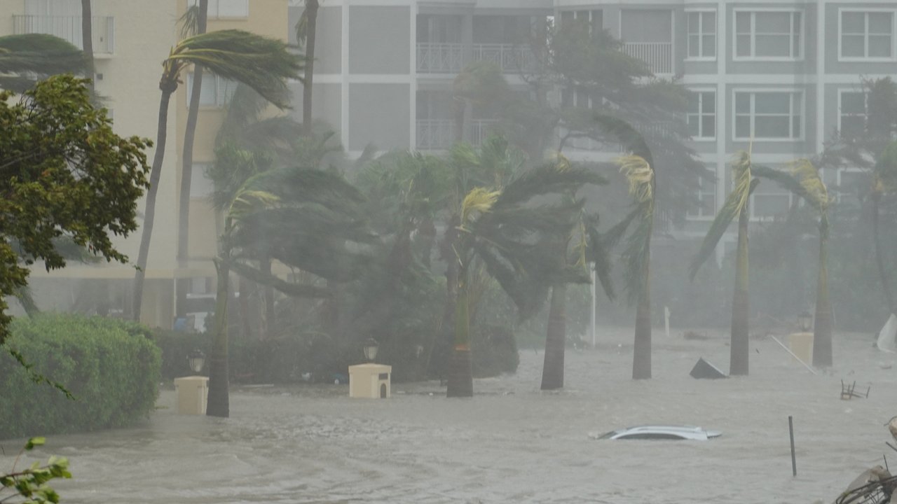
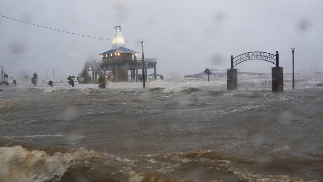
Hurricane Ian last year, with insured losses of US$ 60bn, illustrated that a single severe storm can push up the loss potential – irrespective of whether or not a large number of storms are predicted. It is important to remember that predicting tropical storms is a very complex process, one that depends on a range of factors. Insurers should therefore not make decisions based solely on the expected El Niño phase.
ENSO conditions also influence the typhoon season in the western part of the North Pacific, but with the opposite effect to that in the North Atlantic: El Niño is likely to favour greater typhoon activity here in 2023. In the period 1980 to 2021, the region experienced an average of 26 named storms per year, 16 of which were typhoons and 9 major typhoons in category 3–5.
The heaviest losses from typhoons regularly occur in Japan, but there is also a rising loss trend in China and India. The costliest typhoons in Japan to date – Jebi in 2018 and Hagibis in 2019 – with losses in the tens of billions, both were influenced by El Niño conditions.
The landfall risk in Japan is slightly higher in El Niño years. For Japan, though, it is essential to distinguish between two El Niño types: the “classic” basin-wide El Niño and the so-called “El Niño Modoki”, where the warming pattern is particularly strong in the Central Pacific. In El Niño Modoki years, the landfall risk in Japan and Korea is particularly high, although this year a classic El Niño is expected to form.
Contact our experts


Related Topics
Related Articles
Newsletter
properties.trackTitle
properties.trackSubtitle


