How does a tornado form?
1 minutes read
Published 06/20/2013
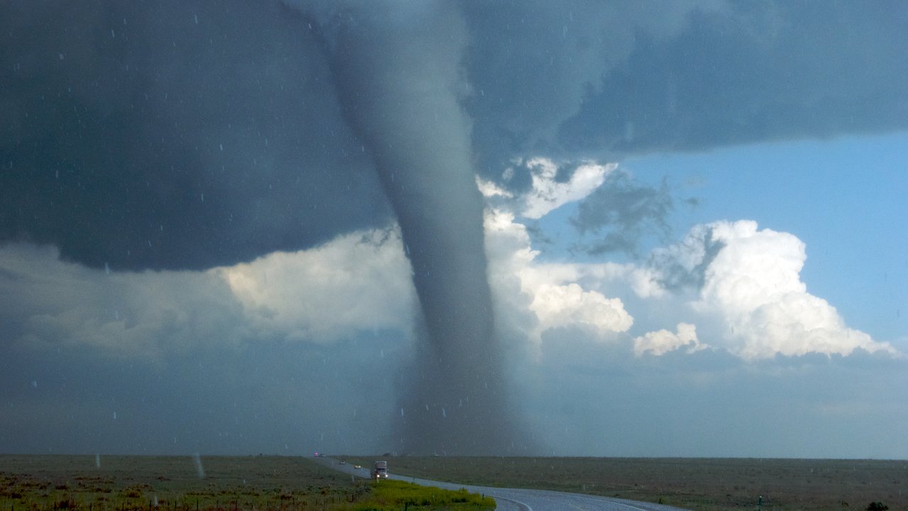
The formation of a spring tornado
Meteorological prerequisites
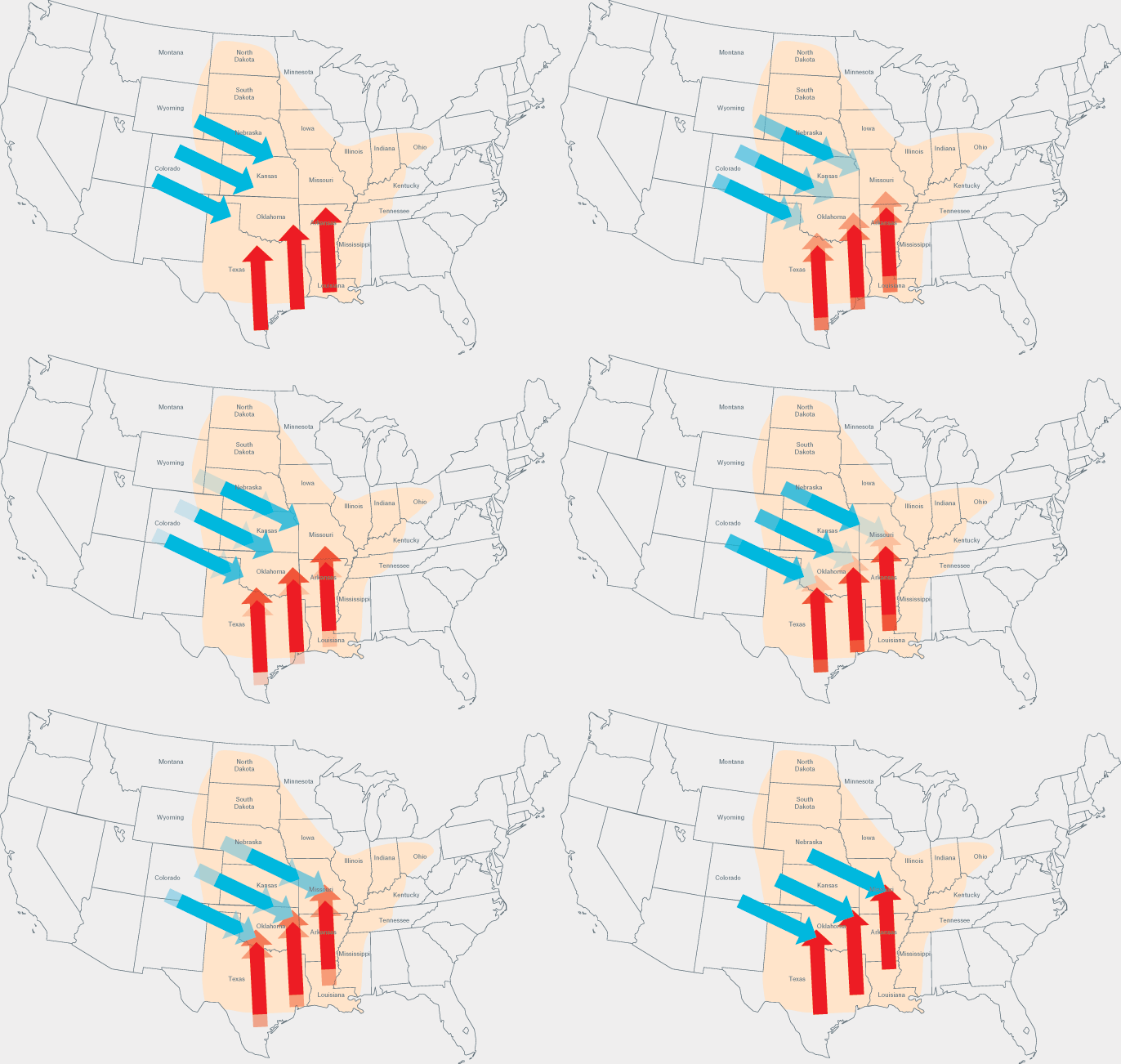
Very warm and moist air arriving from the Golf of Mexico moves land inwards over the Tornado Alley towards the northwest.
Here they can meet colder and relatively dry air from the Rocky Mountains and Canada travelling at high speed towards the southeast.
Collision of airstreams
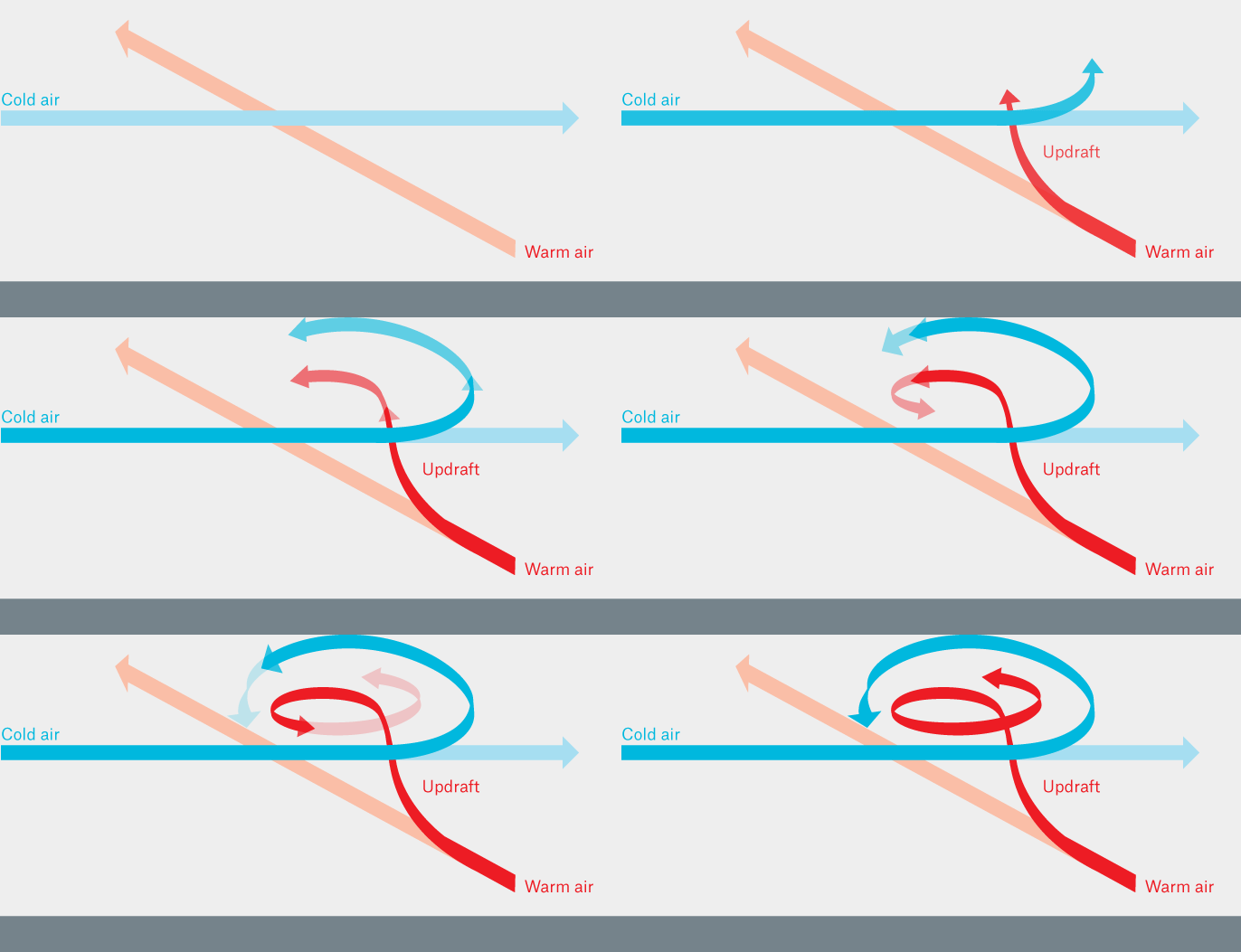
The higher-lying cold-air winds from the northwest slide at high speed over the warm moist air from the south.
A convection process sets in: lighter warm, moist air climbs to cooler altitudes where it condenses thus releasing warmth into the atmosphere and increasing the thermal uplift. This results in an precipitation laden updraft area which diverts the overlying cold air from its original path. The movement of the cold air in turn causes the rising warm air to start spinning.
Formation of the super cell
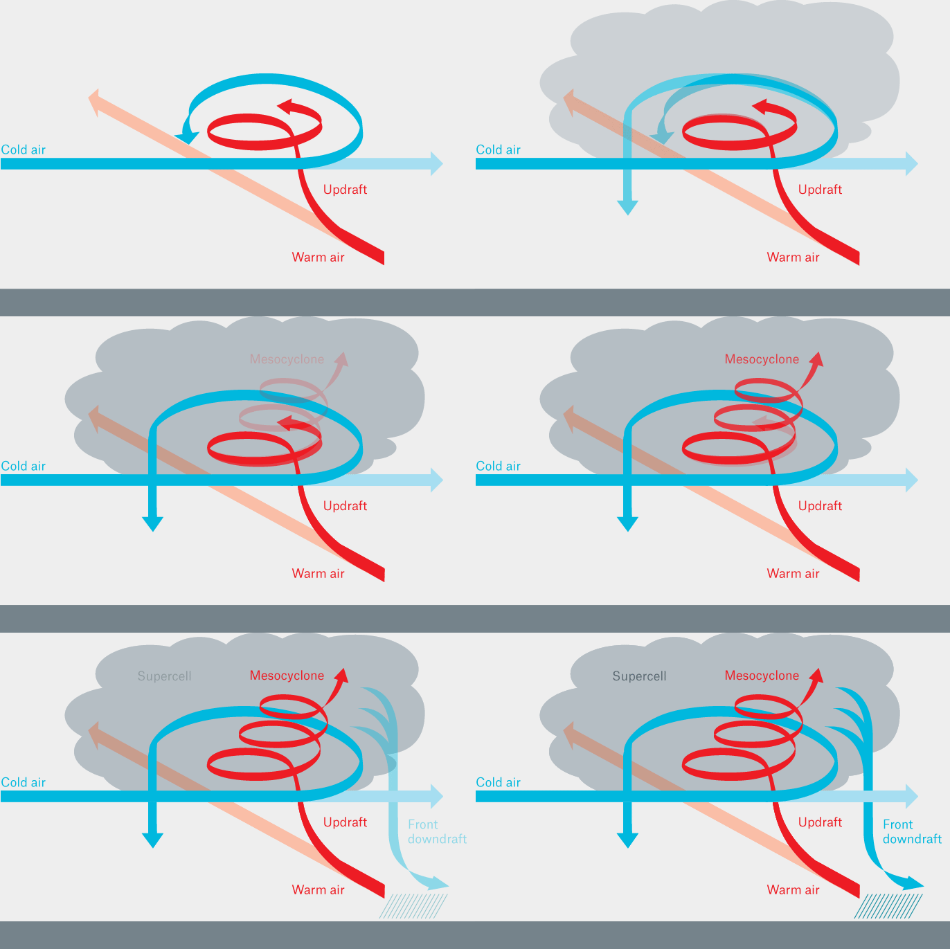
Under the influence of the different wind directions and speeds at higher and lower levels of the atmosphere (wind shear), the rising moist, warm air begins to rotate upwards.
A spiral forms in the growing storm cloud, the so-called mesocyclone. Like a conveyor belt, it transports more and more moist, warm air upwards into the colder parts of the atmosphere. Condensation processes lead to the formation of rain and hail in the storm cloud which fall down into lower and warmer altitudes where they evaporate and cause the air to cool down. Along the edges of the mesocyclone, the precipitation and cold fall winds descend to the ground and form a downdraft. The shear winds tilt the mesocyclone over slightly so that the updraft and downdraft cannot interfere with each other, the process stabilises and the cloud can continue to grow. This leads to the formation of enormous thunderstorm clouds with diameters of over 30 kilometres – the super cells.
Tornado formation
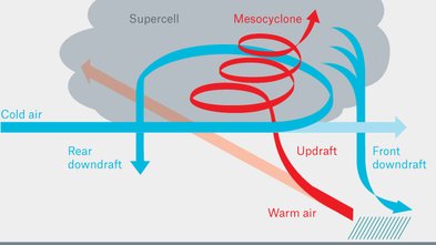
The spinning movement of the air rising inside the mesocyclone creates an area of low pressure directly below.
The rotational movement of the rear downdraft lowers the pressure even further and a slender, trunk-like extension can begin to grow out from the base of the mesocyclone. As the low pressure intensifies, the trunk, or funnel, grows increasingly longer and narrower. The speed of rotation increases as the diameter of the funnel decreases, much the same as the pirouette of an ice-skater. Due to the mounting suction effect, the thin end of the funnel separates from the cloud and is pulled towards the earth. When this funnel cloud touches the ground it is referred to as a tornado. The funnel first becomes visible due to condensed raindrops and the dust that it sucks up. Because of its extremely high rotational energy the tornado is relatively unstable and dances erratically over the ground surface. When it loses stability it disappears quite suddenly, but can reform just a few kilometres further on. Only when the cool fall winds completely cut off the replenishment of moist warm air from below does the process end and the tornado disappears.
1
Munich Re Experts

Jan Eichner
Senior Consultant and expert on natural hazards, Corporate Underwriting
Related Topics
Newsletter
properties.trackTitle
properties.trackSubtitle
0:00
