Record seasonal heat in many parts of Asia and Europe and warmer than average ocean temperatures pretty much worldwide are clear indicators of what is to come: many regions of the world in the next few months are likely to experience extreme weather events and record temperatures. These are triggered by the El Niño phenomenon, which is currently growing and is expected to influence weather extremes in many parts of the world. Overlaid by climate change and depending on its strength, the upcoming El Niño may lead to record average temperatures throughout the entire year. Over the coming year, even the 2016 climate summit target of limiting global warming to 1.5°C compared to pre-industrial times is in danger of being exceeded for the first time.
El Niño is one of the phases in the El Niño-Southern Oscillation (ENSO), a periodic fluctuation in sea surface temperatures in the Pacific. During its neutral state, surface water in the western Pacific is much warmer than in the eastern Pacific off the coast of South America. In La Niña phases, the difference in temperature is even greater. In contrast, during an El Niño phase, weakened trade winds do not push so much warm surface water westwards. So water off the coast of South America warms up, while in the western Pacific it becomes cooler.
Each El Niño is different – specific disasters are almost impossible to predict
The following are the most important El Niño effects:
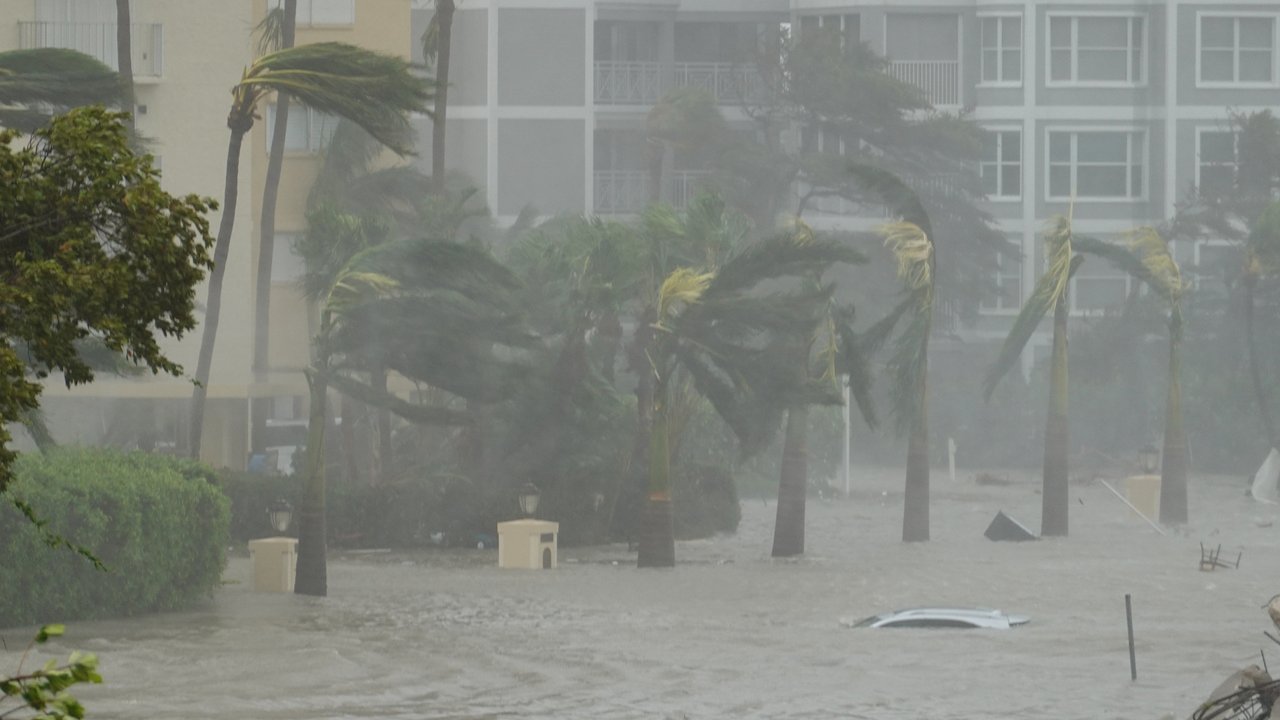
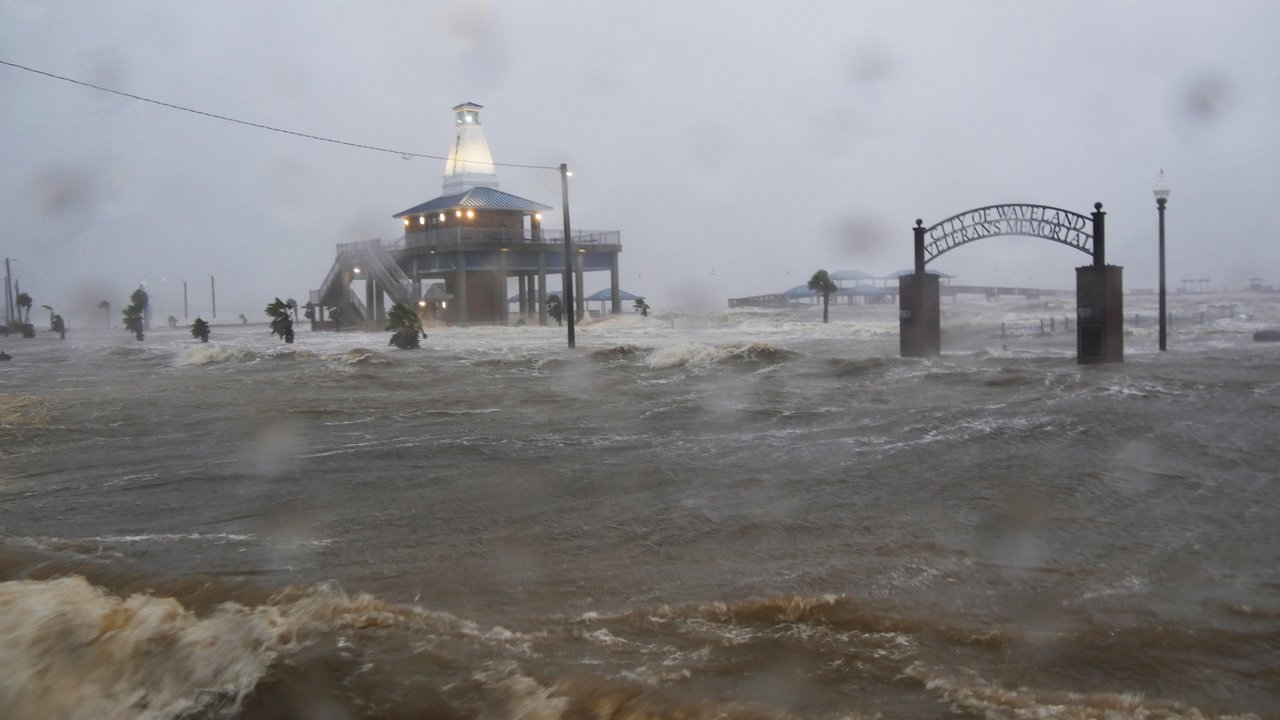
- During the hurricane season in the North Atlantic, storm activity tends to reduce, because stronger shear winds counter the development of tropical cyclones. However, other factors also influence hurricane activity. For example, high water temperatures, such as those experienced in spring 2023, can favour the development of storms. This makes predictions particularly difficult.
- In the northeastern Pacific, in other words off the west coast of the USA and Mexico, the hurricane risk increases significantly during an El Niño phase. In 2015 for example, Hurricane Patricia made landfall in Mexico with wind speeds of up to 340 km/h – making it one of the strongest hurricanes on record. There was extensive damage, but losses remained within reasonable limits because the region is so sparsely populated.
- In the northwestern Pacific, an El Niño phase favours the development of typhoons. Two of the costliest typhoons ever were Jebi in 2018 and Hagibis in 2019 in Japan, with losses running into tens of billions of dollars. Both were influenced by a special variant of El Niño.
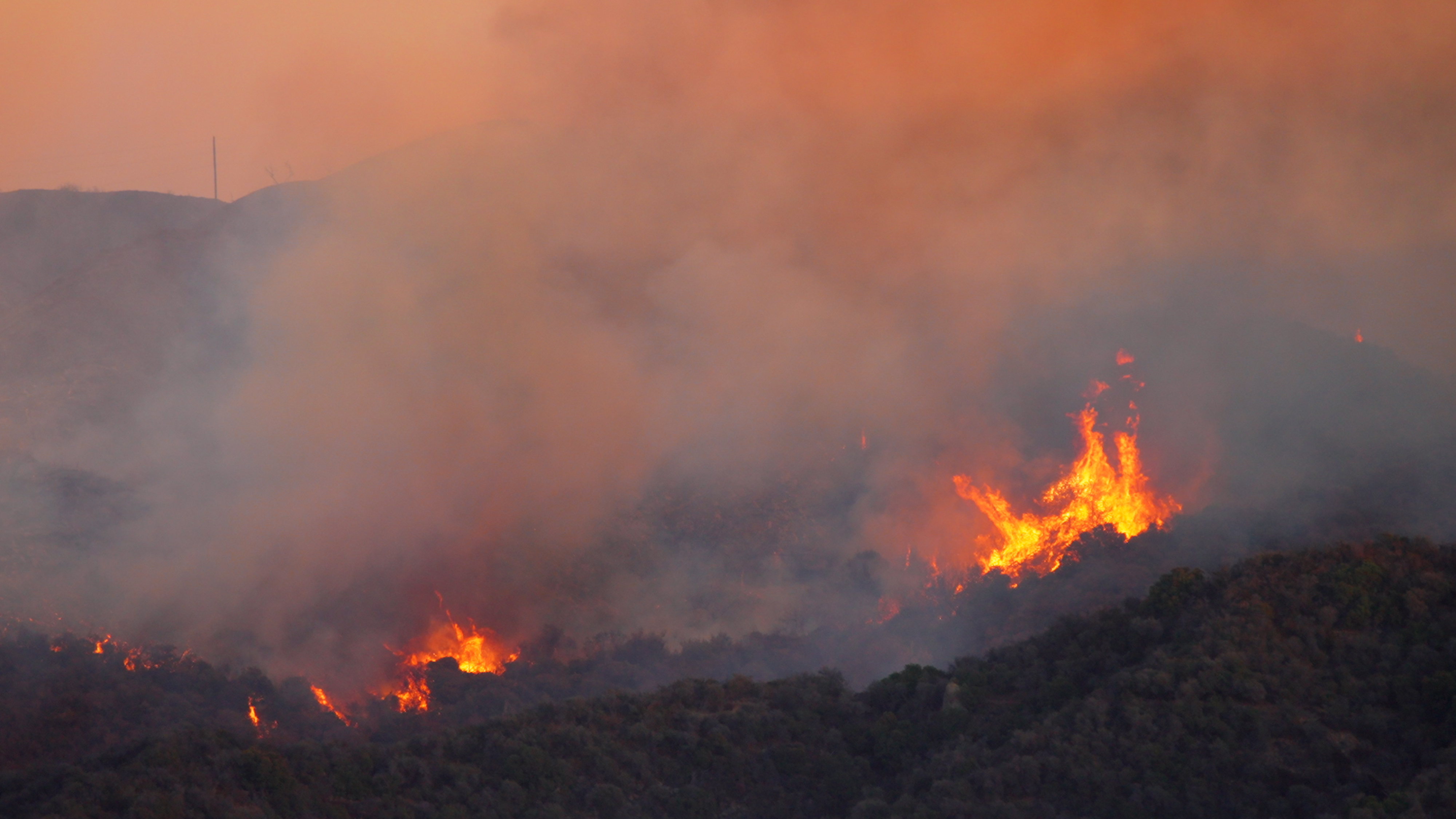
- In Australia, southwestern Africa, central America and northwestern parts of South America, El Niño tends to lead to drought and wildfires. The western side of South America and parts of Brazil, on the other hand, experience more flooding and flash flooding, and this can extend as far north as the southwestern United States.
- The south of the USA sees an increased number of heavy thunderstorms, with severe tornadoes in winter and spring. One example of such an event during a strong El Niño phase was a tornado outbreak near Dallas, Texas, in December 2015. This was a tornado of the second-highest category (EF4), with wind speeds of up to 300 km/h. It tore a swath of destruction through a densely populated Dallas suburb. The entire sequence of tornadoes caused losses of US$ 2bn
- Generally speaking, the effects are reversed in La Niña years. In other words, they result in more tropical cyclones in the North Atlantic and more frequent floods in eastern Australia. Exact predictions are always difficult in such circumstances, because additional cyclical oscillations play a role as well.
Is climate change intensifying El Niño and La Niña?
ENSO fluctuations affect not just local weather phenomena, but also global average temperatures: El Niño increases them, while La Niña reduces them slightly. It is worth noting that the last nine years were the warmest since records began. The individual record holder is the El Niño year of 2016, when the average temperature was almost 1.2°C above the average for the pre-industrial period. But several more recent hot years, for example 2020–2022, were also La Niña years. This shows that the effects of the natural climate cycles are becoming overlaid with climate change, and that this is playing out as a trend towards a higher temperature level. Climate researchers fear that, under the continuing influence of El Niño, the average global temperature in 2024 could increase for the first time to more than 1.5°C above pre-industrial levels.
There is no scientific consensus yet as to whether, conversely, climate change is having a direct impact on the ENSO fluctuations. Some studies believe that climate change is also intensifying the ENSO phases themselves – in the same way that it boosts the extremes of many natural hazards.
The strong effects of cyclical climate fluctuations – overlaid by the effects of climate change itself – illustrate how important research in this area and the conclusions drawn from that research are, not least for insurers. Using historical statistics alone for risk management is not enough. Instead, fluctuations from natural climate cycles need to be considered, and the long-term effects of climate change precisely mapped in the risk strategy. There are dozens of scientists at Munich Re – from meteorologists and hydrologists to climate scientists – all working on risk models and risk assessments that make it possible for us to cover disaster risks on a large scale. This role is of crucial importance: insurers assume a portion of the financial losses of disaster victims, thereby enabling them to return to a normal life as quickly as possible.
Munich Re experts


Related Topics
Related Articles
Newsletter
properties.trackTitle
properties.trackSubtitle


