“Super El Niño” is contributing to extreme weather around the world
The El Niño climate oscillation is increasingly flexing its muscles, influencing extreme weather events in many regions. Sea temperatures in the eastern Pacific near the equator are at record levels, as this year’s especially strong El Niño is occurring against a backdrop of warming driven by climate change.
The data points to a sustained very strong El Niño lasting well into 2027. The Climate Prediction Centre, a U.S. government agency within the National Oceanic and Atmospheric Administration (NOAA), has very recently forecast a 79% chance that El Niño will remain strong to very strong in January/February/March 2027 regarding the average for those three months. As well as affecting weather extremes in many parts of the planet, El Niño is also driving up the global average temperature – already rising significantly due to climate change. In fact, 2027 could become the warmest year on record.
El Niño influences weather extremes around the world: the most important effects
Impacts of El Niño evident in many places
Although the current El Niño is not expected to peak until late 2026, its effects are already palpable. Many events this year seem to fall squarely in line with expectations:
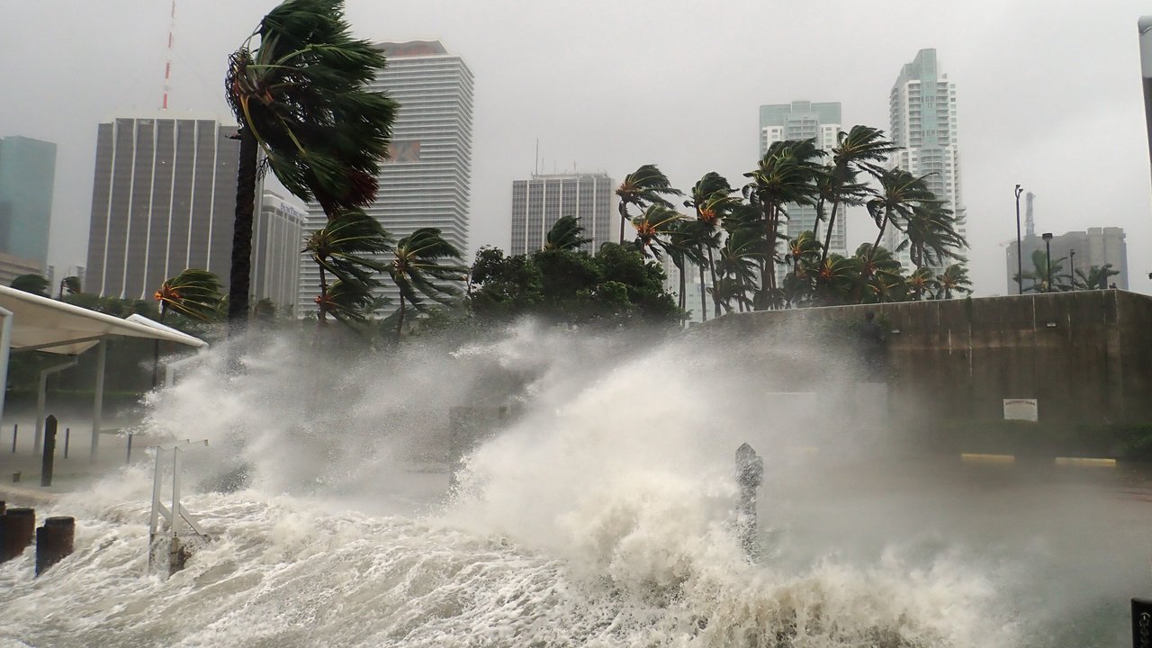
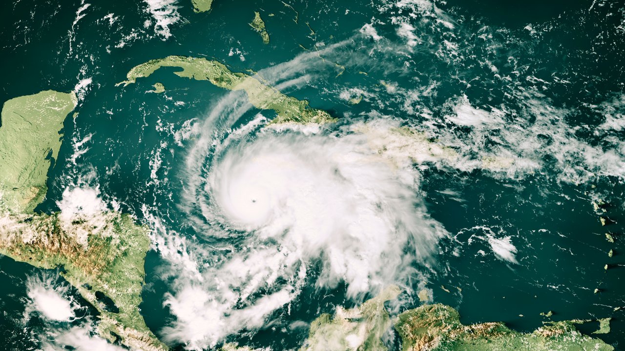
- A large number of hurricanes formed in the north-eastern Pacific, west of the United States and Mexico. One particularly powerful storm, Hurricane Polo, generated wind speeds of nearly 300 km/h at times as a Category 5 hurricane. On 29 September, it made landfall on the Baja California peninsula as a Category 2 hurricane. This is consistent with El Niño phases that foster cyclone formation over the north-eastern Pacific.
- By contrast, the hurricane season in the North Atlantic was particularly quiet until early November, as El Niño conditions in the region meant that wind shear prevented hurricanes from forming despite very warm sea surface temperatures.
- An above-average number of typhoons formed in the north-western Pacific. Their accumulated cyclone energy (ACE), a metric of storm activity, to 31 October 2026 equated to nearly 150% of the long-term average (1991–2020).
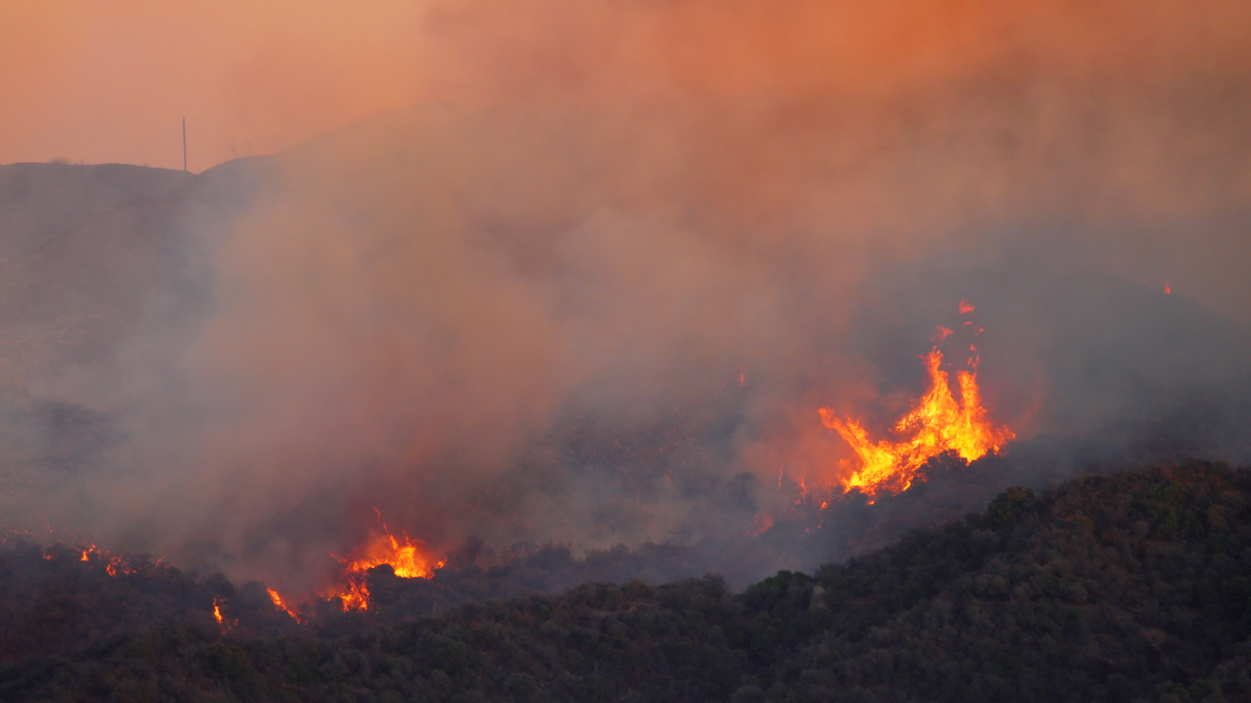
- In Indonesia, thousands of square kilometres of forest and scrubland burnt in September. According to media reports, more than 3,000 people lost their lives as a result of the toxic smoke.
- In India, the summer monsoon was significantly weaker than usual; many reservoirs were subsequently significantly lower than their typical levels. The monsoon rains are very important for Indian agriculture – with a weaker monsoon generally resulting in significant crop failures.
In the southern hemisphere, where it is summer when El Niño is active, droughts and wildfires tend to be more frequent in southern Africa and north-eastern Brazil, for example. Severe flooding, on the other hand, frequently occurs in south-eastern Brazil and along the western coast of Peru during or after El Niño events. In 2024, floods in the state of Rio Grande do Sul caused losses of about US$ 15bn (adjusted for inflation) – Brazil’s most expensive natural disaster in decades. A scientific study concluded that both climate change and El Niño have made such disasters several times more likely.
Background info:
El Niño is the warm phase of the natural climate fluctuation known as ENSO (El Niño/Southern Oscillation) in the tropical Pacific Ocean. Under normal conditions, trade winds transport warm surface water westward, leading to warmer waters in the western Pacific than in the eastern Pacific off the coast of South America. During El Niño, the trade winds weaken. The warm water shifts eastward, with both the central and eastern equatorial Pacific consequently warming to an unusually severe extent.
The sea surface temperature in the Niño 3.4 region of the central Pacific plays a crucial role in the strength of this phenomenon. There are two indices in this regard:
- ONI (Oceanic Niño Index): Deviation of the Niño 3.4 temperature from the 30-year mean. When temperatures deviate by more than 2°C, this is often referred to as a “Super El Niño”.
- RONI (Relative Oceanic Niño Index): The official NOAA classification since February 2026. In this case, the average warming of the tropical oceans is deducted from the traditional ONI. This makes it easier to compare events from different decades in the context of climate change.
Looking at the latest daily figures, the traditional ONI figure has already surpassed all previous readings. Although daily RONI figures are at record levels for this time of year, the absolute record has not been broken.
By definition, the intensity of El Niño phases is not expressed as daily values but as three-month averages instead. For August/September/October 2026, RONI was already exactly 2.0°C above average – almost as high as during the strongest El Niño events of 1982–1983, 1997–1998 and 2016, which exhibited temperatures as much as 2.4°C above average. Whether a new record will be set remains to be seen. NOAA/CPC now puts the likelihood of this scenario at 60%, which is lower than in previous estimates. A strong to very strong El Niño is still considered more than 79% likely through the period of January/February/March 2027, after which it is expected to weaken.
Climate scientist Andreas Land explains:
(recorded August 2026)
2027 could well be the warmest year on record
All in all, it now appears very likely that the global annual temperature record will be broken in 2027. Moreover, research institutes such as Copernicus and NOAA have recently stated that there is an increasing possibility that 2026 could set new records. However, they still regard 2026 becoming the second-warmest year on record as the most likely outcome.
To date, 2024 holds the record for the global mean temperature, at around 1.5°C above the pre-industrial average (1850–1900, as per NOAA data). In fact, 2024 was affected by an El Niño phase that had begun the year before, in 2023, mirroring the current situation.
Is climate change intensifying El Niño and La Niña?
ENSO fluctuations do not only affect local weather phenomena. El Niño raises the global average temperature, while its La Niña counterpart causes slight cooling. It is worth noting that the last 12 years have been the warmest since meteorological record-keeping began. Influenced by an El Niño phase that had started in 2023, the hottest year on record is 2024, when the mean temperature was almost 1.5°C above the pre-industrial average. But recent hot years have also been interspersed with several neutral and La Niña years, e.g. in 2020–2022 and 2025. In short, the effects of natural climate cycles are overlapping with those of climate change, producing a trend toward higher temperatures.
However, there is no scientific consensus yet as to whether, conversely, climate change is having a direct impact on ENSO fluctuations. Some studies indicate that climate change is also intensifying the ENSO phases themselves – in the same way that it is worsening the extremes of many natural hazards.
The pronounced effects of cyclical climate fluctuations – in combination with the effects of climate change itself – illustrate how important research in this area and the insights gained from it are, not least for insurers. Using historical statistics alone for risk management is not enough. It is instead necessary to both factor in the long-term repercussions of climate change as part of risk management and to thoroughly comprehend the fluctuations caused by natural climate cycles.
Dozens of scientists at Munich Re – including meteorologists, hydrologists and climate scientists – all work on risk models and risk assessments that enable us to cover disaster risks on a large scale. Doing so is of fundamental importance. After all, insurers assume a portion of the financial losses incurred by disaster victims – helping them to return to their normal lives as quickly as possible.
Munich Re experts